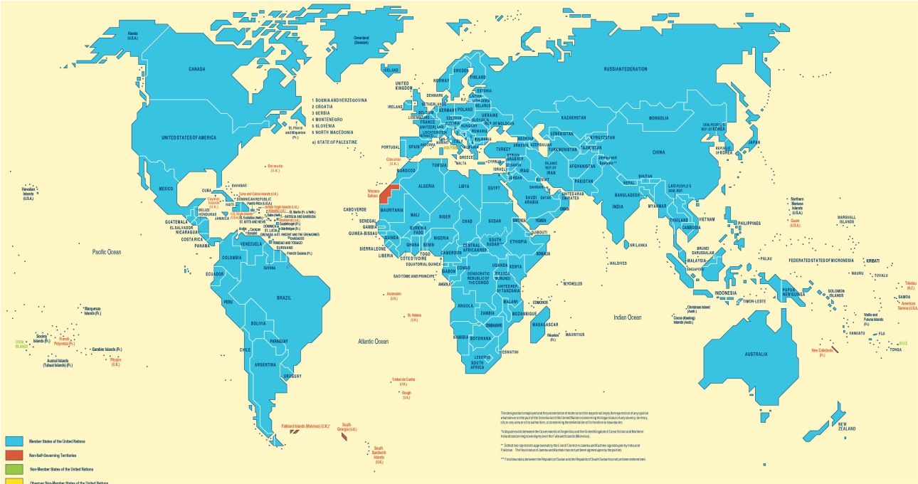
A United Nations world map has triggered concern in India after Arunachal Pradesh and Aksai Chin were shown between Indian and Chinese claim lines, creating an impression that these areas are disputed. The issue surfaced after the UN General Assembly adopted the “Correct the Map” resolution on September 4, 2026. However, the resolution does not redraw international borders or approve a new political map. Its purpose is to encourage equal-area map projections that show the relative size of continents more accurately, particularly Africa, which appears much smaller on the traditional Mercator projection.
India voted in favour of the resolution but stated that its support was limited to cartographic representation. New Delhi said the vote should not be treated as approval of any specific map or depiction of national boundaries. India maintains that Arunachal Pradesh is an integral part of the country and that Aksai Chin is part of the Union Territory of Ladakh, although the latter is under Chinese control. After questions were raised over the UN Geospatial map, the Ministry of External Affairs said it had taken up the “anomalies” with concerned authorities and reiterated that India’s sovereignty and territorial integrity are non-negotiable.
The controversy matters because maps used by international organisations can influence public understanding of borders and territorial claims. At the same time, the UN resolution is non-binding and focuses on correcting distortions in the size of continents rather than settling territorial disputes. Therefore, reports saying that the UN has formally “passed a new world map” placing parts of India in disputed territory can be misleading. The accurate position is that a UN map has raised concerns over the depiction of Arunachal Pradesh and Aksai Chin, while India has objected to the representation and clarified that supporting the mapping resolution does not change its official territorial claims.